KLFC PRESENTATION Feb 6/13
“MOUNTAIN FLYING” ?
I don’t have much experience with that
type of MOUNTAIN
FLYING
I’ve just flown through them
So let me tell you my life story
Just what kind of a pilot am
I?
-
licensed in 1962
-
fear of long
cross country until …… helped ferry a PA-12 on floats from west of
-
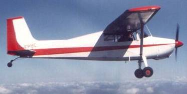
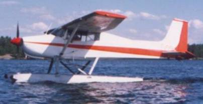
love affairs with T-Craft, Aeronca Sedan, Stinson,
Commanche, 182 etc.
-
needed to own any
plane I could afford
-
20 years of
almost bliss with this homebuilt 170:
But what about THE MOUNTAIN FLYING ?
None, just a
little toe dipping: from
The 170 is a great plane but it is getting to be too
heavy for an old guy to push around. My back needs something lighter:
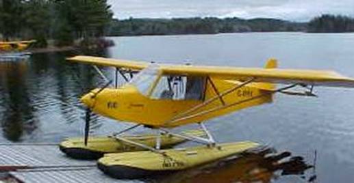
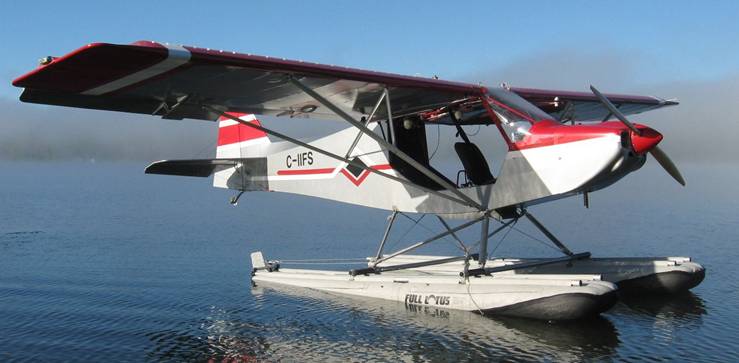
Like this Rans S-7 Courier
582 engine 650
empty 1200 gross
The start of a major love affair
These
aircraft perform right up there with a SuperCub. Off the water with two people
and full tanks on a hot calm day in 12 seconds. After realizing there were many
variations of the S7 Courier I started to buy
and sell them just to get in some flying and try out the different
models and engines (most were 912 80 and 100hp)
They came from NY, 3 from
and then from the
MOUNTAINS
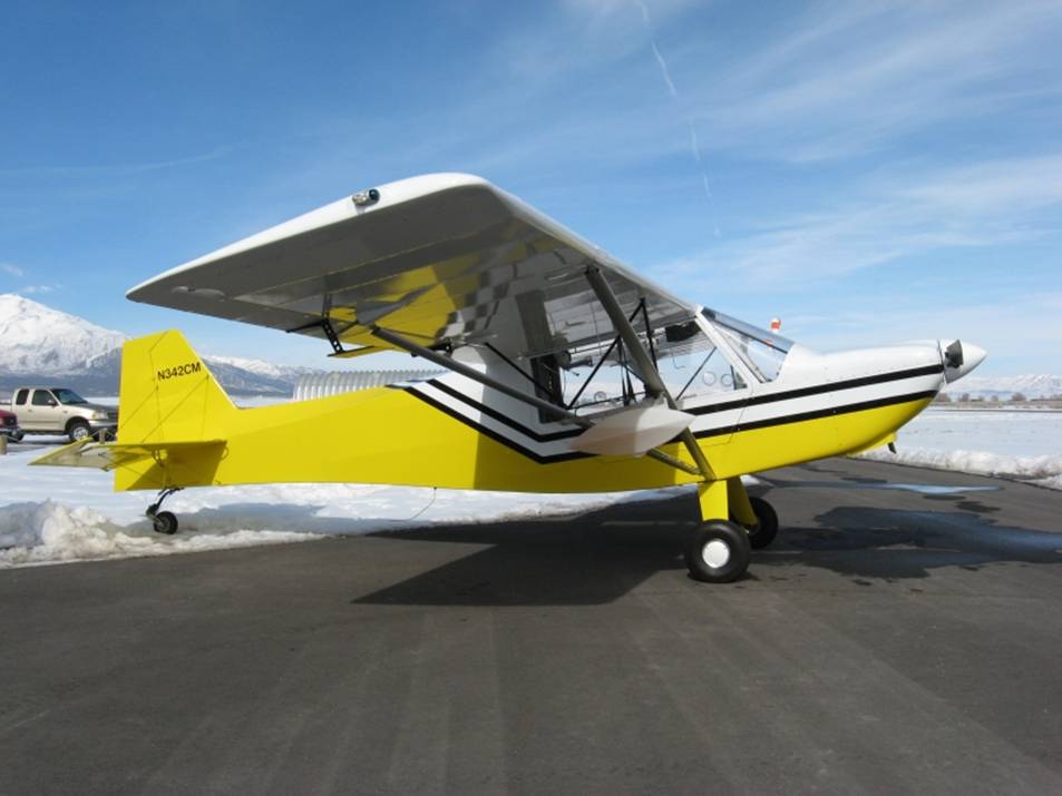
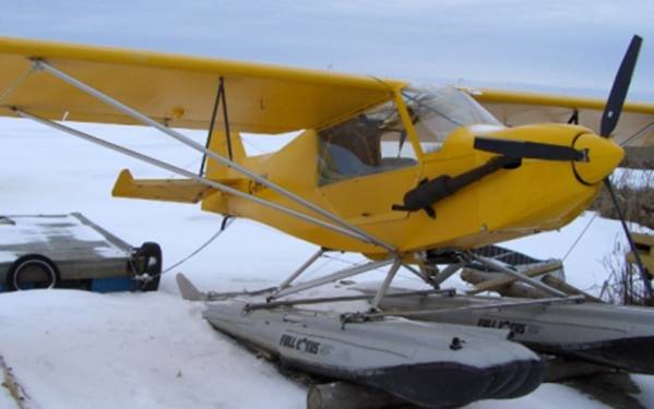
This is 2004 S-7S (details of the various models here)
CAN I REALLY DO THIS?
Do I need a mountain flying course? (NO!)
Input from a local friend: “You aren’t going to fly that kite through
the mountains!”
Input from guys out there: “No problem”
It’s cold! Cabin heat (not)
Survival equipment
SPOT
Fuel: Chinook
aux tanks
(typically shipped out ahead
of time with my pre-made mounting brackets and plumbing)
US cell phone
Second GPS
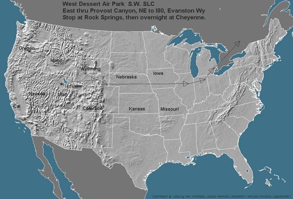
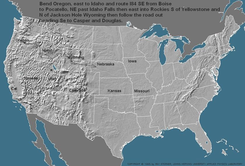
Route: mostly
US I 80
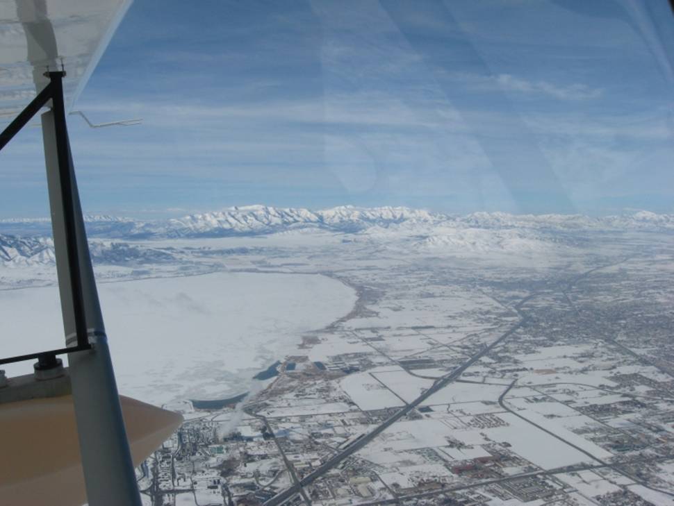
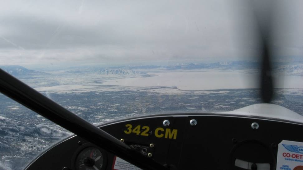
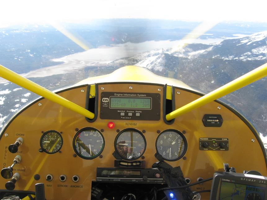
Looking NW. SLC on the right,
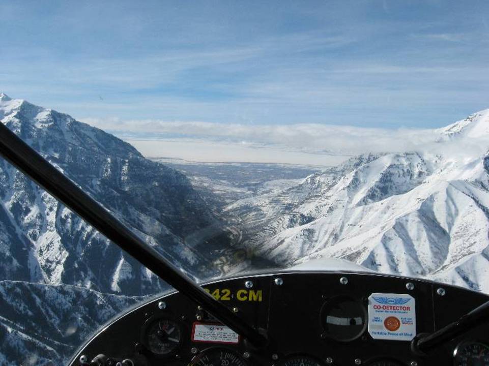
Heading into
Runway at Rock Springs Elevation 6760
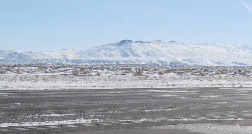
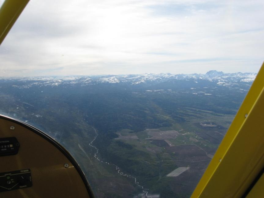
Typical scenery across southern Wy:
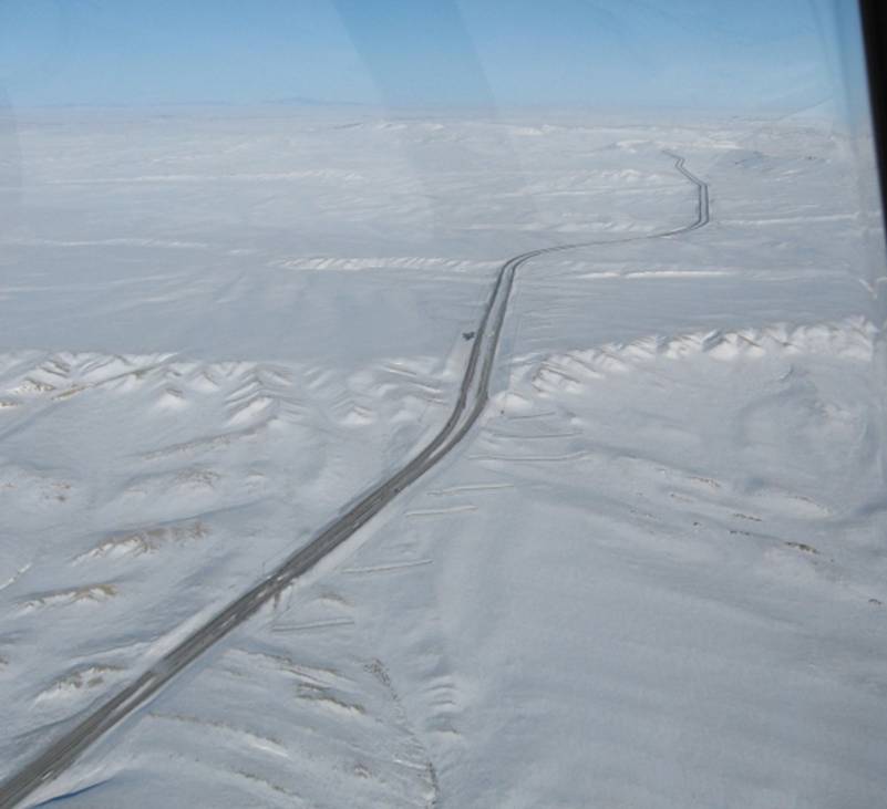
and the rest is flat land
Install floats then sell to a guy in
Delivery to new owner in
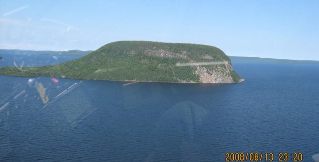
An island in lake Nipigon
Another find in
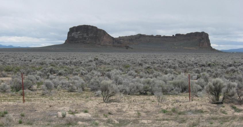
Farming country
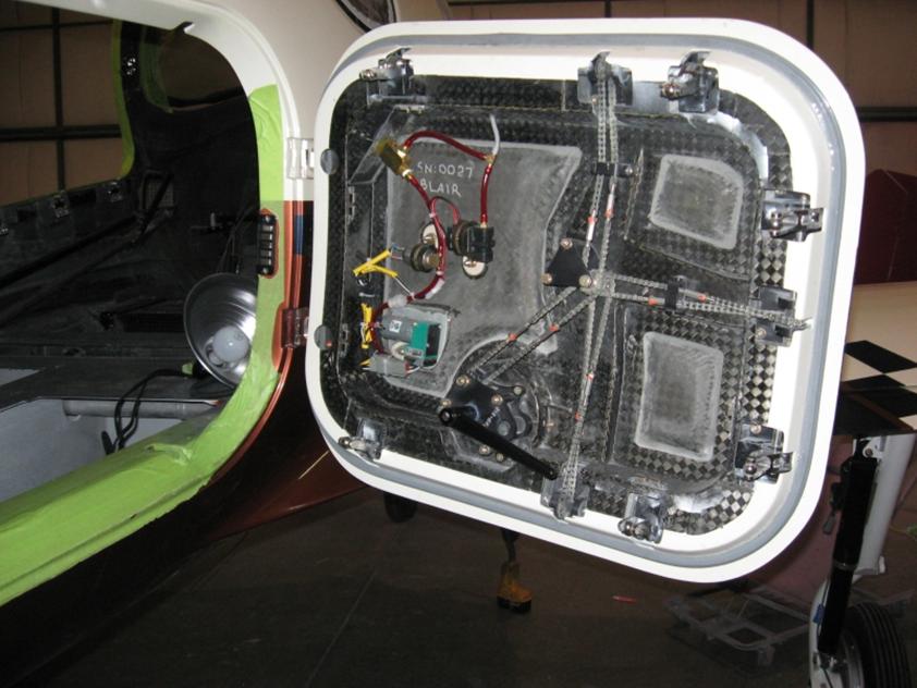
The guy I bought from worked on turbine, pressurized Glassairs
Below is just the baggage door
Leaving
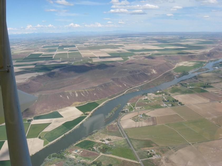
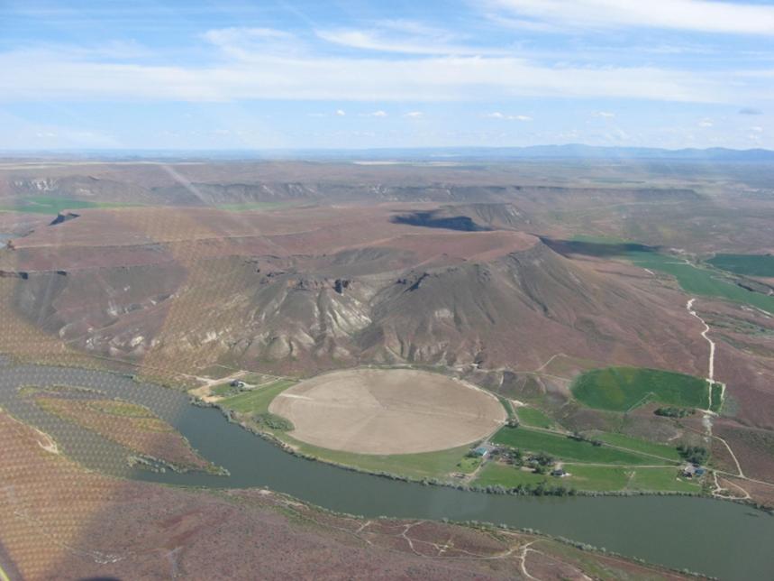
Some pretty scenery in the valley that covers a large
chunk of southern
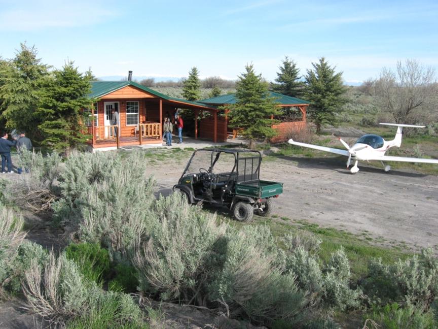
Linked up with a small flyin BBQ near
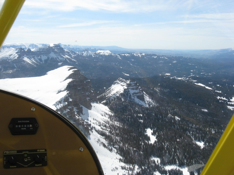
Leaving the flat lands heading NE to a pass between
This is just north of
Note the temps above proved to be a problem later.
Elevation 11,500
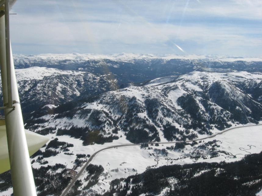
Ahh a road at last. Wasn’t anything for most of this
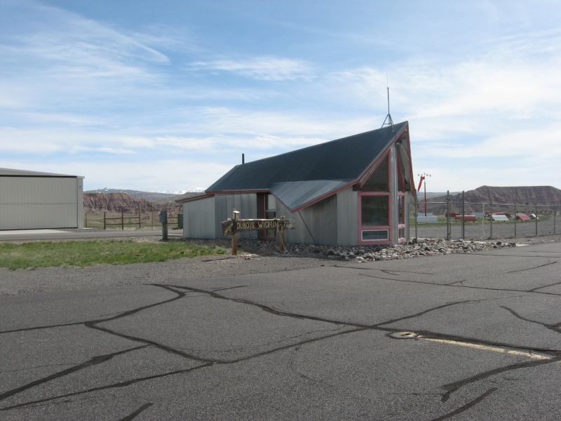
leg. This takes me out to stop at Dubois
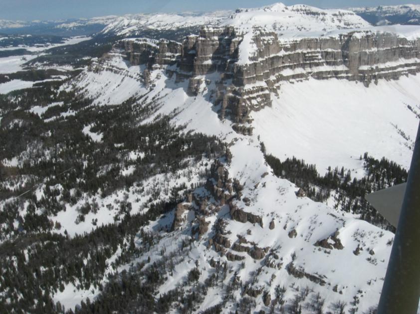
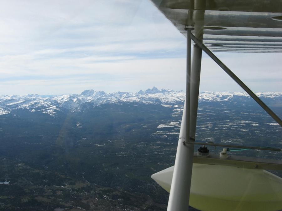
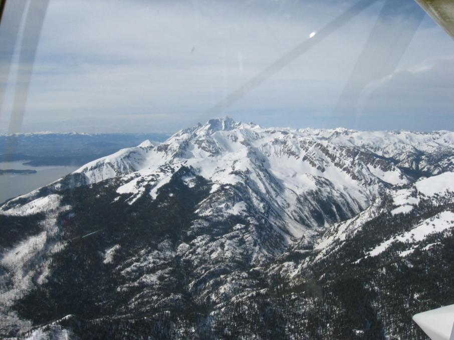
Out at last but with regrets. This was the most
impressive scenery I’ve ever been close to.
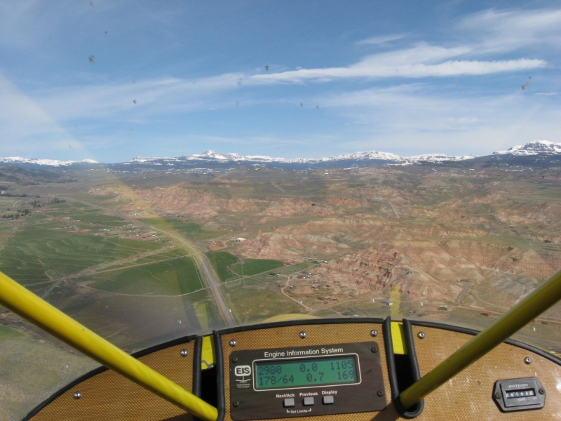
Flat land problem
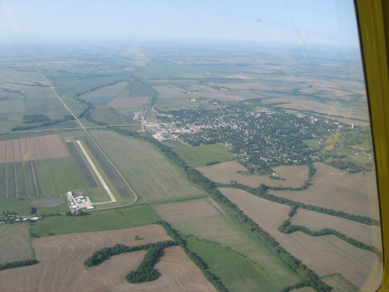
Temps were getting a little high in the warm weather
so hit “nearest” to get to
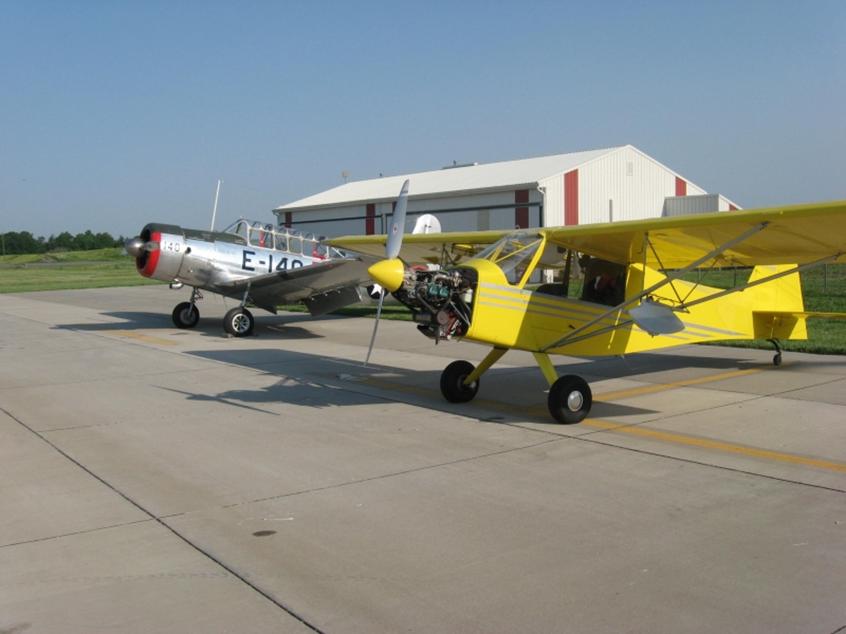
Proved to be a great stopping place. Ag planes plus
the Yale and a Harvard which the local Congressman owned (he more or less owned
the airport too)
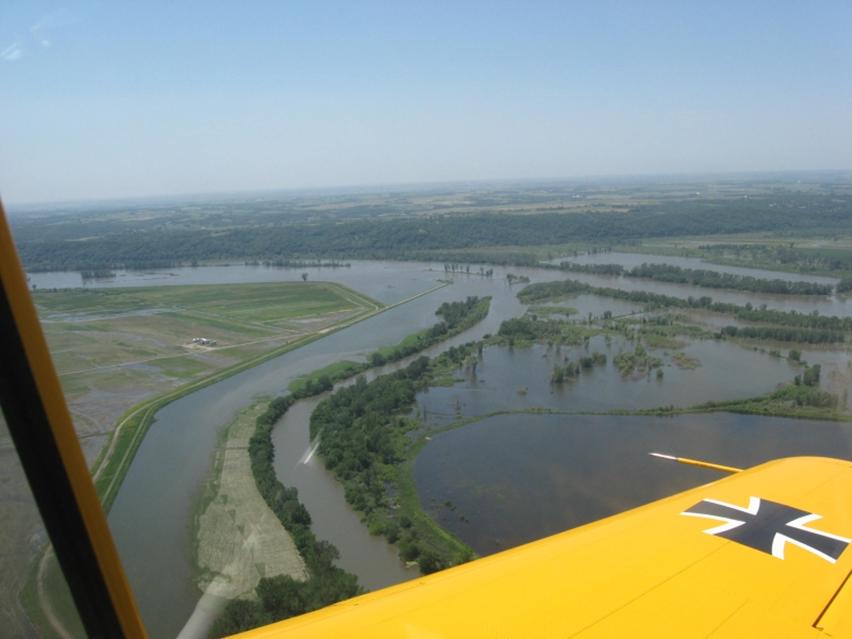
Checking out the flooding in the
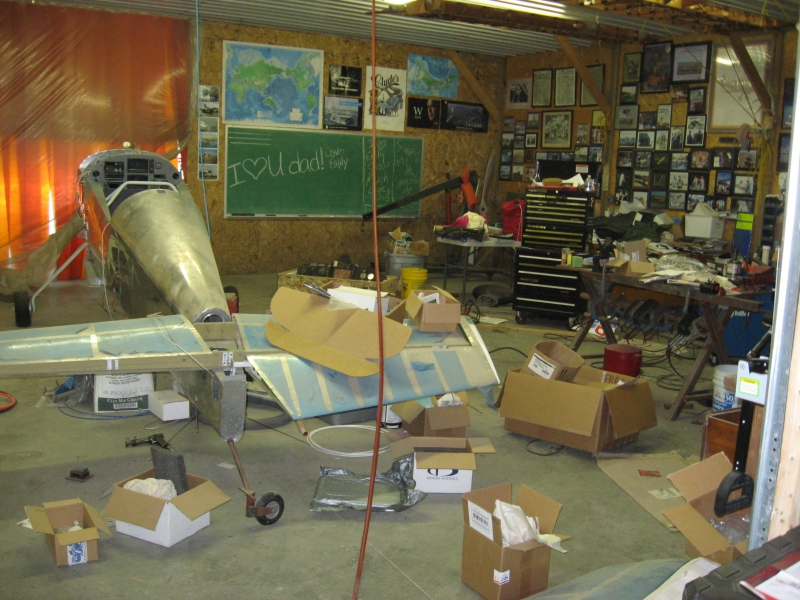
One of the hangars (a picture for my wife who’d like me
to be neater)
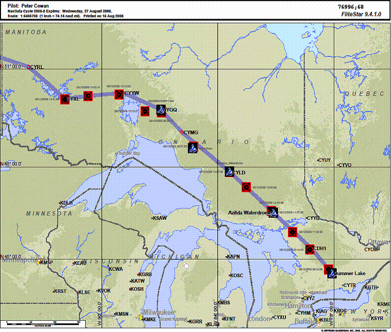
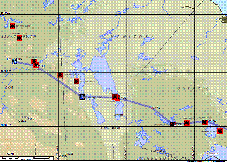
Ferrying another S7 from
See relief map above . Route is northern
This time I had SPOT tracking which allows you to tie
your pictures to the route:
My
conclusion is that these types of flights through mountainous terrain requires
no more knowledge than any other cross country; the route planning is very
similar, just the numbers are different. My policy was always to:
Talk
to the locals for route suggestions
Don’t
have deadlines
Carry
emergency equipment and clothing for cold weather (and for high altitude)
Use
a SPOT beacon
Wait
for good weather. Meet new friends,
learn about the locality and most important:
FLY a RANS S-7
Ranss7.com
Finding the Rans Courier was the entry into many years
of very satisfying flying experiences.